Today’s posting on Genealogy Tip of the Day reminded me of a reference my Grandma Neill made to “Green Grove.” It was where she had gone to school as a child. I wasn’t certain how long Grandma had attended Green Grove or exactly when, but it would have been in roughly the 1916-1923 or so time frame. Grandma was born in 1910 and did not attend school after her 8th grade graduation.
Her family moved several times when she was a child before they eventually settled on a farm north of Loraine in Adams County, Illinois. Those moves were to farms in what I’m calling the “general area of Tioga, Illinois.” All the specifics are unknown as her father wavered between living on mortgaged property and renting from landowners in the area.
Knowing Grandma attended Green Grove for at least a time helped to pinpoint the location somewhat precisely. One room schools dotted the rural Illinois landscape as Grandma grew up and that continued until the 1930s and 1940s as Illinois moved away from using the one schools.
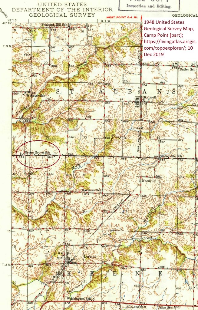
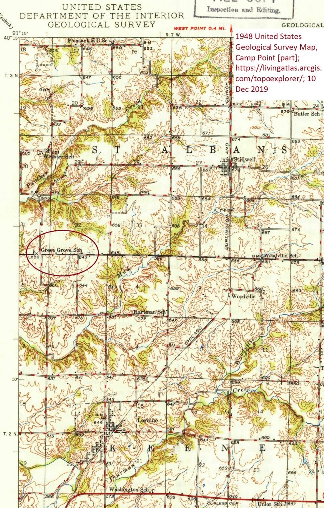
The United States Geological Survey’s Geographic Information System contained a reference to Green Grove–indicating it was a “historic” location. The 1948 USGS topographical map for Camp Point, Illinois, showed the location of Green Grove. The school was on the Hancock-Adams County line, approximately a mile and a half south and three miles west of Stillwell. It was also within a few miles of where Grandma’s family permanently settled north of Loraine in the early 1920s. It is worth noting that the map is dated at least twenty years after Grandma would have attended the school. The location probably had not changed, but it is possible that schools shown in 1948 were not in existence when Grandma was in school. The map also does not show the school boundaries either.
The United States Geological Survey’s Geographic Information System is probably the best way to search for place names as there are wildcard and other search options not on the historic topographical maps website and search results can be viewed by county which is helpful. Once a location’s name and location has been found, the historic topographical maps can be used. Those maps can be downloaded from a site devoted to those maps hosted by the United States Geological Survey. When a location has been chosen, the site displays historical maps that include that specific locale.
- Approximate location of Green Grove School
- Approximate location of Tioga–where Grandma was “from” as she said. Viewing the 1946 map for that location located a “Green Hill” school near Tioga and also near Green Grove School.
Lessons/Suggestions:
- Practice using these maps for areas that you already know fairly well. It’s easier to experiment with other features that way when the map at least makes sense to you.
- View adjacent maps.
- Feature names may have changed over time.


No responses yet